DAY 35 – TUESDAY 8TH JANUARY 2019
Today Steve
and I were venturing out on our own again.
This time we wanted to check out Dyrholaey Headland and the Black
Beach. Again, we were blessed with good
weather…


 |
| Lighthouse of top of this headland |


 |
| You had to use your credit card just to go to a public loo... and it cost $2.50 |


 |
| Stunning views of the black beaches in Iceland |


 |
| View of the public loos. Very hard to find these in Iceland... there are not too many around... |


 |
| Puddles are all iced over |
On top of the headland sits a century old lighthouse. These days it’s not your regular kind of lighthouse. On the inside, it has been renovated and converted into a private luxury hotel. Nevertheless, the exterior look is extremely charming, and we enjoyed photographing it….
 |
| Amazing views of the black beaches from up on the Headlands |


 |
| Lots of birds nesting on the cliff faces |


We spent a couple of hours here just soaking in all the beauty around us and enjoying the amazing views. It was early afternoon before we left to go and explore the other natural attraction on our list of places to explore today.
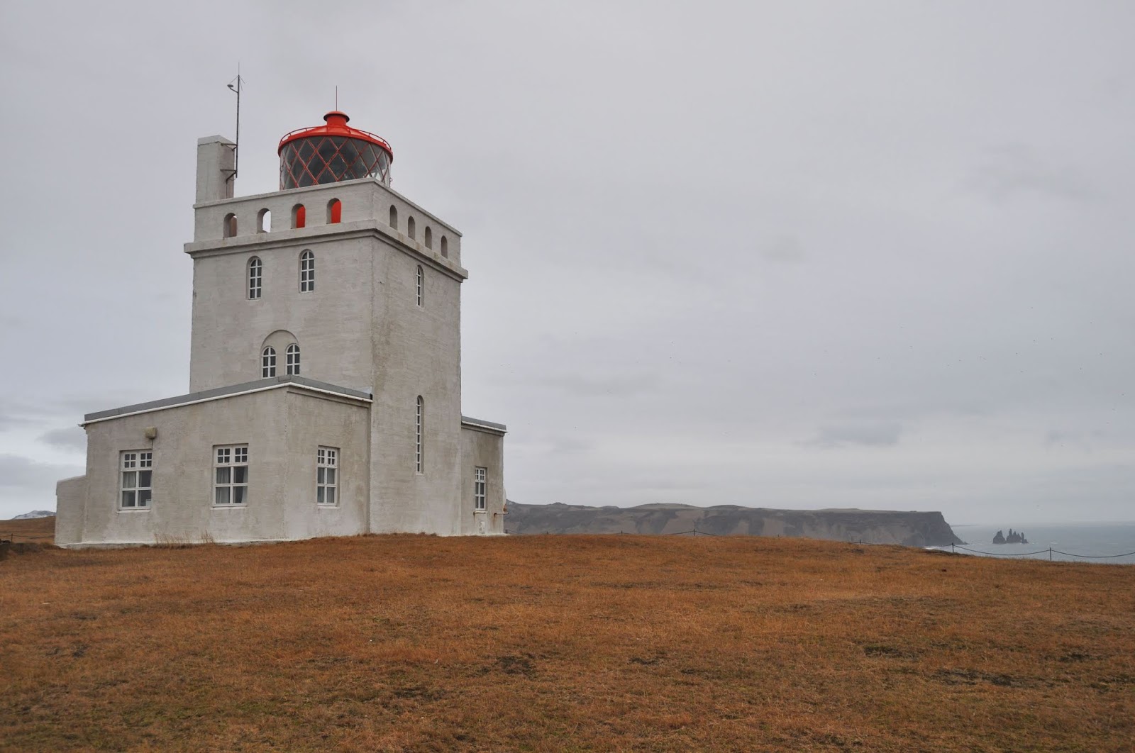 |
| Lighthouse on top of Dyrholaey Headland |


 |
| Basalt Rock STacks |


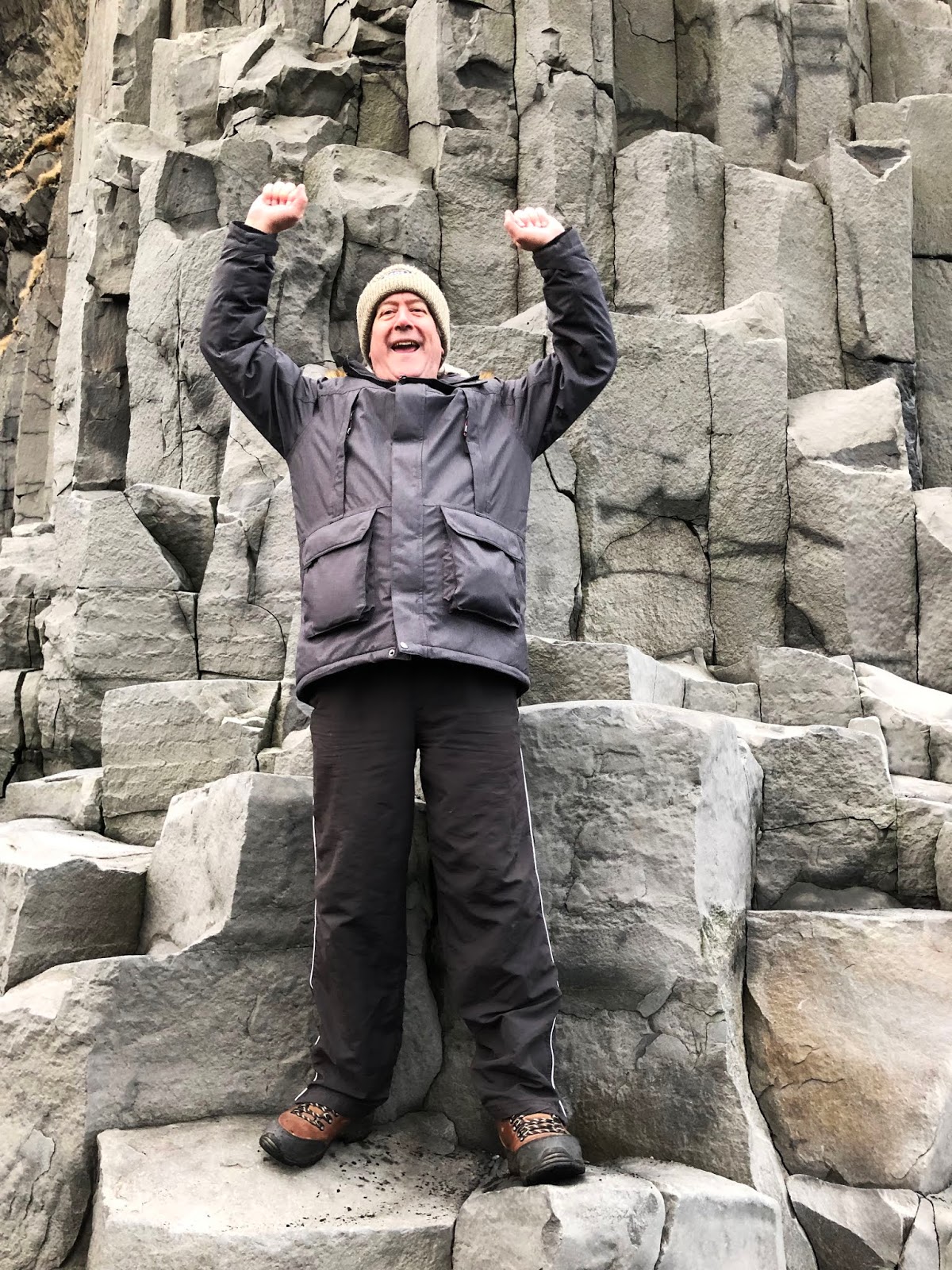


Black sand beaches rise from volcanic ashes. When molten lava enters the water, a violent interaction occurs between the hot lava and the sea water.


According to local Icelandic folklore, these large basalt columns which vary from 0.5-1 meter (1.6-3.2 feet) in diameter and can be up to 20 meters (65.6 feet) tall were once trolls trying to pull ships from the ocean to shore. However, these trolls were dim and went out too late in the night; dawn broke on the horizon, turning the trolls into solid stone.
Another legend
tells of a husband whose wife was kidnapped and killed by two trolls. The man
followed the trolls down to Reynisfjara where he froze them, ensuring that they
would never kill again

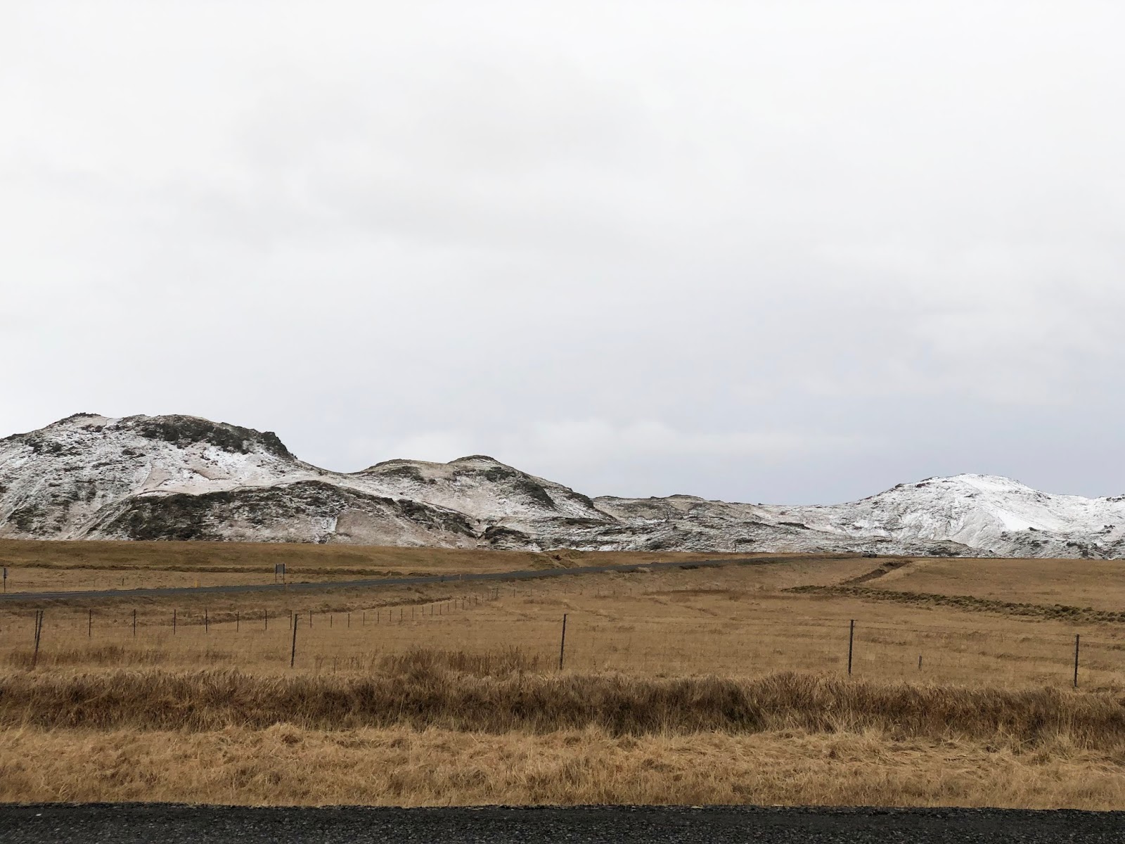
Our
last stop for the day on Tuesday was to visit the Soleikajokull Glacier. It was
late afternoon by the time we got there, that is around 3pm, about 45minutes
before sunset, and the rain had started again. Not the best weather to view a
glacier, but we stopped anyway.

As the
sun was setting, and the weather
terrible, I decided to sit in the car and wait for Steve, as I knew I would
slow him down, and I didn’t want to be walking back to the car in the dark,
especially since the weather was so poor and I didn’t want to slip or fall.


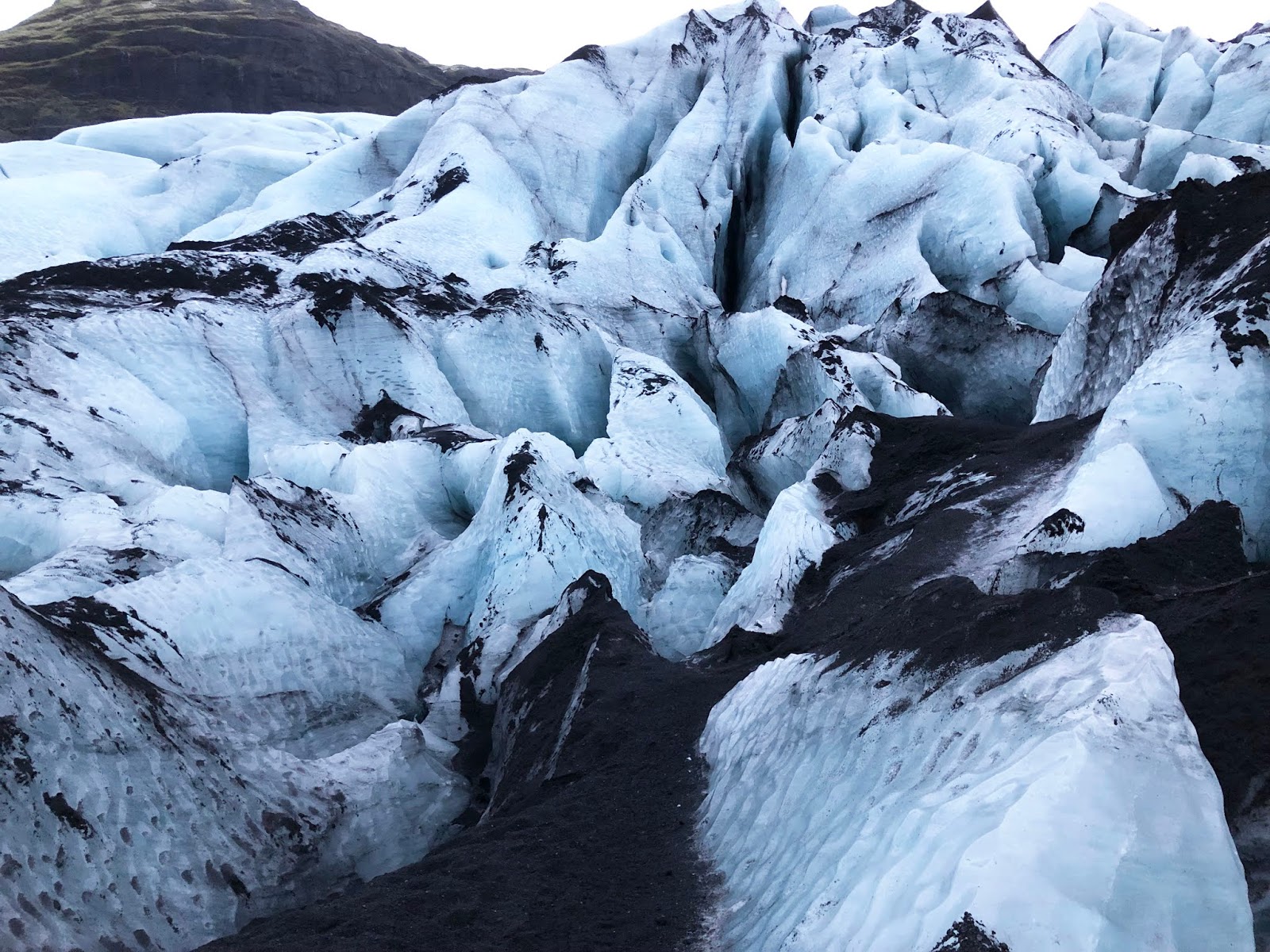


Steve was so glad
that he did the walk, as seeing this Glacier was one of the highlights of the
trip so far for Steve.
It was after dark
by the time we arrived home… Pete and
Steve had a soak in the hot tub again tonight, and then after dinner we all
enjoyed another night of board games, playing Carcassonne this evening. What a great game…. Loving these evenings
spent together….


0 comments:
Post a Comment